Horizon Imaging was recently contacted by a researcher at the University of Sussex who is involved in a project looking at the feasibility of using UAVs (Unmanned Aerial Vehicles) to automatically detect the presence of intruders on long-distance buried oil and gas pipelines.
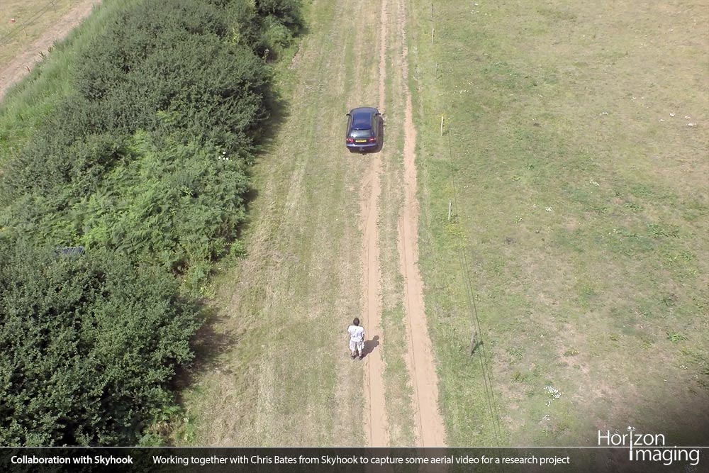
A screengrab from one of the aerial videos showing two ‘targets’ on a path. Click to enlarge.
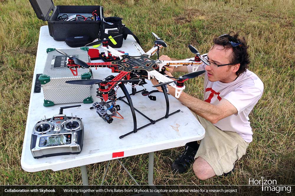
One of Skyhook’s aerial photography platforms was used to capture the aerial videos. Click to enlarge.
Horizon Imaging worked together with Skyhook to capture a set of aerial videos of various objects on a sandy path – either stationary or moving around. Part of the research project involves the creation of image processing algorithms which, as well as stitching images together to produce a single mosaic of the entire pipeline, will also be used to detect any changes or disturbances along the length of the pipeline. To simulate this we positioned a car and a person on the path, drove a car up and down the path, and had a person walk up and down the path – all whilst being filmed from one of our unmanned helicopters flying overhead.
Automated aerial surveillance of this nature has the potential to revolutionise the protection of remote and long-distance pipelines, and it felt great to be part of the research into this labour-saving and potentially life-saving application of UAVs
Please feel free to get in touch with us, we'd be delighted to chat through your requirements with you!